Hi
Here are two examples. One is your preselected GOES 16 South image. One is your preselected GOES 16 Midwest image.
It has the Midwest down south. It has the south showing up as Ohio Valley (other areas, as well).
No other selections were on. 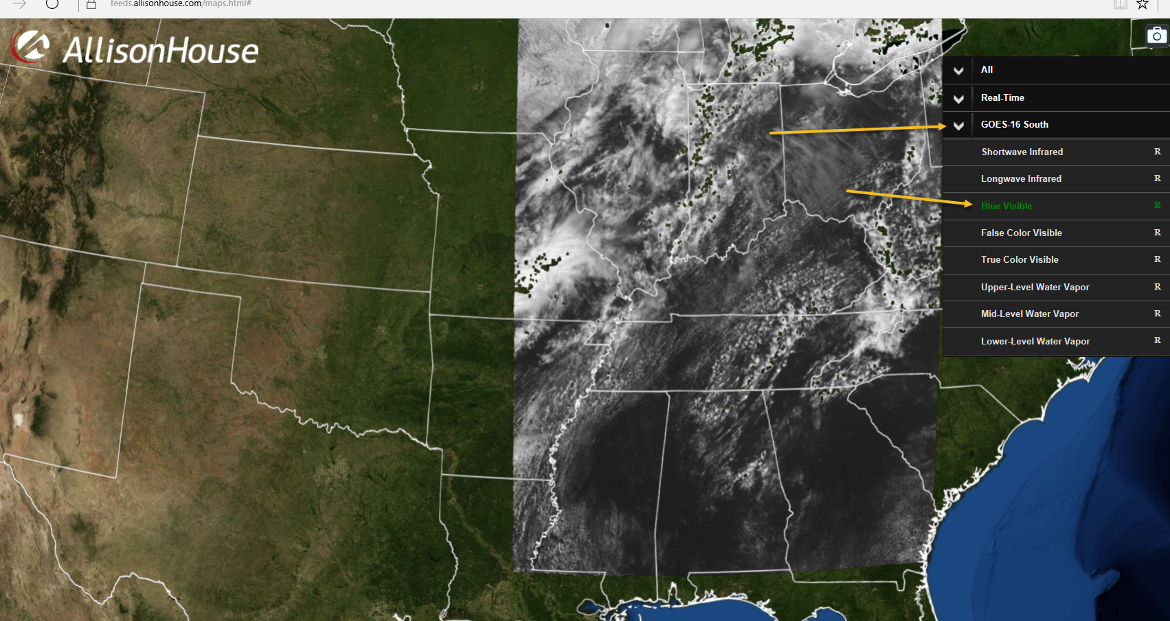
Hi
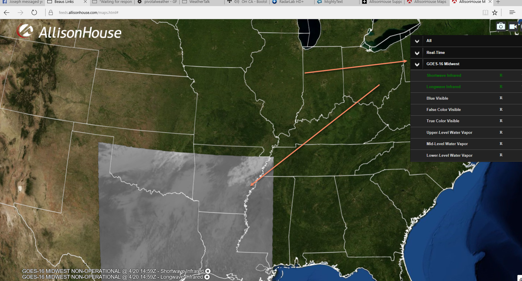
Here are two examples. One is your preselected GOES 16 South image. One is your preselected GOES 16 Midwest image.
It has the Midwest down south. It has the south showing up as Ohio Valley (other areas, as well).
No other selections were on.

Since GOES-16 sectors don't strictly follow regional lines, this is the best I could do at naming them. If you have any better ideas, I'm all ears.

Hi Ryan
I think something is wrong. Yesterday it did not do this. Pretty sure it loaded the right areas.
Maybe I am wrong, but something seems off today. The regional views (if I remember correctly) were loading the right areas.
I will look again after lunch.
Will message you later.
The GOES-16 sectors get moved regularly. The satellite isn't operational yet.
This is not a Maps issue.
Weird. I wonder why they label them northeast, Midwest, and so on.
Beau,
They don't. I clarified this in my original response. There is no particular label for them, but I have to label them something. If you have any better propositions for what to label them, I'd be glad to make those changes.
The sectors are moving because the satellite isn't operational. It's being tuned. This is a beta feature with beta bugs and the weirdness that comes with that. Once the satellite is operational, the sectors won't be moving around.
Oh. I see. I read your comment as you labeled them that, but was open to other suggestions on the names. I understand.
I was wondering why you thought the Midwest was so far south ;)
It's possible the sector was further to the North when it was labeled. Also, the sectors don't conform to regional boundaries.